Devereux &
Associates L.L.C.
Timber Resource Management
and
Practical Solutions in
Spatial Data
Technologies

|
Devereux &
Associates L.L.C.
|
|
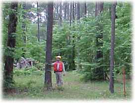
| Devereux and Associates utilizes GPS technology and electronic data collection systems which quickly, efficiently, and accurately integrate field data with conventional databases and spreadsheets.
Services:
|