Devereux & Associates L.L.C.
Practical Solutions in
Spatial Data Technologies

[ Services ] [Home]

Geo Info Systems


Home
Up

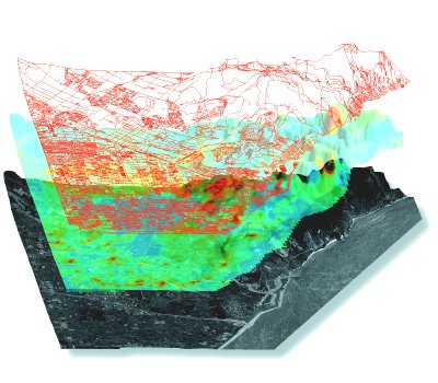
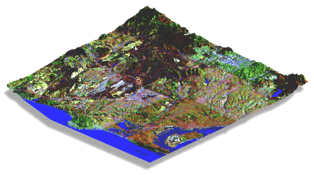
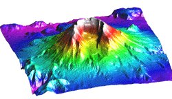
GIS plays a vital role in resource management and resource planning.  Devereux and Associate's has the extensive professional experience, training, and available resources to give our clients' the peace of mind that comes from knowing that their unique needs are being met.  Because we use ArcInfo, ArcView, Erdas Imagine, Microstation, AutoCad Map, and PCI Remote Sensing, we can provide multiple levels of data analysis,  processing, development, and conversion in a full complement of industry standard formats.   


Services:

bulletDigitizing and Digital Mapping
bulletCustom Data Acquisition and Development
bulletData Format Conversions
bulletSite Analyses
bulletSuitability Assessments
bulletIdentification and Delineation of Environmentally Sensitive Areas.
bulletFacilities Management Services
bulletDigital Elevation Models
bulletDigital Terrain Models
bulletBathymetric Modeling
bulletWatershed Delineation
bulletHydrologic Modeling and Drainage Analysis


Information Request Form

Select the items that apply, and then let us know how to contact you.

Send service literature
Send company literature
Have a salesperson contact me

Name
Title
Company
Address
E-mail
Phone